Saturday, Jan. 19 2013
Temp.: mid to upper 40's
Cool Guy and I hiked the 4 mile Lamping Homestead Trail at Wayne National Forest, Marietta Branch, today. Looking at the map, I thought this was going to be quick and easy. As usual, I was wrong. Although the turnoff for the park was only 35 miles outside Marietta OH, it was 35 miles of winding road, and it took an hour to drive that 35 miles. One notable thing was that we never met another car on the way there. We did see two tractors, two hunters in a field, and three covered bridges, but no other cars.
When we arrived at the park, ours was the only car in the lot. At that point, I thought it might be smart to text Burt and let him know where we were and that I would text him again when we finished. That would have been a great plan if I had thought to do this before we started, but as it was, there was no internet, so we were alone and on our own. Note to self: always let someone know where you're going BEFORE you get there. Luckily, there were no problems and no need for the text, but one never knows.
The day was sunny, windy, and warmish. I had on my heavy wool sweater, and it was great, except when it was too warm. But the great thing about this hike was that it changed every 10 minutes or so. We might be on a sunny stretch one minute, and then in a pine plantation the next. The sweater was definitely appreciated.
After the first mile, we were given the opportunity to take the short loop and cut the hike to 1.8 miles. Cool Guy was for that option, but I pointed out to him that the path wasn't muddy, the day was nice, and I would prefer that our hike take longer than our drive to get to it. So we soldiered on the long loop, and I'm so glad we did.
We walked through one pine plantation during a strong bout of wind, and it was so cool to hear the trees creaking in the wind. At first, I thought it was a bird shrieking, that is how it sounded.
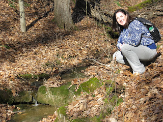
The trail itself was varied. We walked through meadows, on pine needles, leaves, jumped streams, crossed creeks, worked our way up slanted ridges, never level, and toward the end, slogged through and dodged around mud and ice. Never a dull moment.
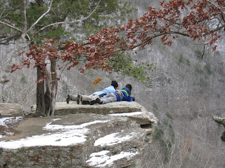
One moment on a ridge top gave us a nice vista, but for the most part, it was a woods walk. I would definitely like to do this again in the summer because I think it would be a nice, shady hike.
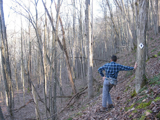
The trail was well-marked, but even so, we strayed off the trail a time or two. For me, an ideal trail would have every darn tree with a blaze. Otherwise, I am going to miss the path somewhere, somehow. But if we went too long without seeing a blaze, we would backtrack and find our way again.
I am proud of Cool Guy for doing the 4 miles without complaining. For him, it's all about being done, though he enjoys it, he most likes knowing where the end is. I'm sure it helped that we were very comfortable throughout, and though the trail was difficult in some places, there wasn't that much up and down. It was mostly level, though uneven, hiking.
The hike ended with us going around an Indian Burial mound, something that really impressed Cool Guy.
Definitely going again, and next time allowing time to check out the covered bridges.


