Thursday, March 7, 2013

Hibbs Cemetery, North Bend SP


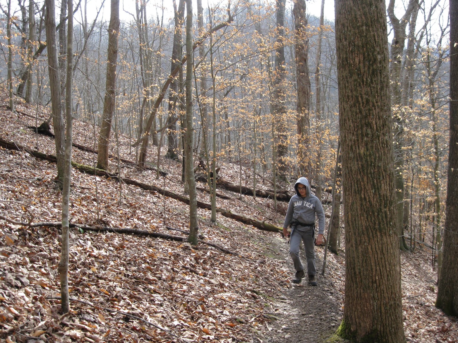
During a week in mid-February, I was at a quilt retreat at North Bend State Park.  Luckily, the weather allowed a little hiking in between snow storms.  On Feb. 18, one of my quilting buddies, Nanny, and I hiked the Hibbs Cemetery/Nature Trail loop.  Total distance was about 2 miles.  The day was the warmest of the week, nearing 50 degrees.

The Hibbs Cemetery Trail begins right behind the North Bend Lodge.  It immediately goes up and does a little up and down.  This wouldn't have been a problem except for two things: first the ground was pretty muddy and slippery, and second, there were a lot of trees, branches, etc. blocking the trail, making it necessary to do quite a bit of scrambling, and this on muddy, slippery ground.  However,  after the initial rough going, we reached the top of the ridge, and then the debris was not as bad.

We were rewarded with some fantastic rock formations, not to mention the peace of being outdoors in the the clean, clear air.  The trail was mostly through woods, and there wasn't any view to speak of, but this walk in the woods was lovely in its own way.

The trail, according to the map, goes by the cemetery of an early pioneer family in the area.  We reached the end of the trail and saw nothing.  Sure that we had just been too busy gabbing to notice, we turned around to look again.  About where we guessed it should be, sure enough there was the sign for the cemetery, but it was lying face down on the ground.  We propped it against a tree and searched in vain for headstones.  There were none.  Asking the ranger afterwards, we learned that there are no headstones, the cemetery is just that flat piece of ground. 

On the way back, we took a section of the Nature Trail and got to see new sights.  It ended at the road to the lodge, and as we were walking back, we saw some horsemen getting ready for a ride on the trail.

Overlook Trail, North Bend SP

While at quilt retreat, I was fortunate enough to go on two hikes.  The second, done on Feb. 21, was the Overlook Trail.  We - Nanny, Charlie, Becky, and I - had to drive in Becky's new truck to the cabins to begin our hike.  It was cold out there, but the sun was shining.  It was definitely worth the time and trouble.

Overlook began with a descent and wound through woods, but round a corner, there would be a fantastic rock formation, or a view.  The point of this trail was to wind in and out around the Hughes River and finally to reach an overlook of the dam.  The hike and the river were fantastic, but the dam was just a dam.

In general, the trail was well-blazed, except around the dam area.  If it weren't for Becky and her amazing sense of direction, we might still be wandering around trying to find our way out.  Going out, we hiked through more woods, crossed a stream, and in general just had the nicest of times.  I plan on taking the family there soon.


Thursday, February 28, 2013

Ohio River Islands Upland Trail

Cool Guy and I did the Upland Trail of Ohio River Islands Wildlife Refuge on Feb. 15.  It was cold and spitting snow.

The trail began straight up and wound through the hills in the area.  One big difference between this trail and the riverside one was that this trail was much more primitive.  Actually, I enjoyed it more.  It was almost exclusively a woods trail.  Not much of a view to speak of, no big water interest, just woods.  But they were pretty woods, even in the winter.  We crossed several small ravines and had several nice woodsy scenes.  There wasn't a lot of up and down after the first up, just a lot of meandering until it was time to come down.

The trail was well-blazed, and a really nice perk was that several trees were identified for us.  I especially remember the Virginia Pine, and I think I could identify that myself now.  Cool Guy was most impressed with the poison ivy vine (id'd) that was a thick around as my wrist.  Glad it was winter.  We don't like poison ivy.

The trail was about a mile in length, with a shorter loop or figure 8 option that we didn't take.  Next time....


Tuesday, February 12, 2013

Kanawha State Forest, Overlook Rock Trail

Cool Guy and I went to Kanawha State Forest for the first time Feb. 7.  For a nice change, the weather was clear and warmish, after a couple of weeks of overcast skies, rain and snow.  I chose Overlook Rock Trail because it immediately involved climbing, and I figured that getting up might get us away from snow run-off.

Finding Kanawha State Forest was very easy.  I forget how easy it is to get around in Charleston.  After taking the correct exit, I only needed to follow the signs for 6 miles.  Easy peasy.

Once we got to the forest, I checked in at the station to get our VIPP cards stamped, and the ranger was very helpful to us, recommending the best way to hike the Overlook Rock loop.  We began with the hard climbing and then at the end of the hike, we got our reward in the form of a fantastic view on a large rock.

But I'll start from the beginning.  The trail was extremely well-blazed, and the trail, though narrow, was clear and easy to follow, even with leaves all over the ground.  We began by going up, up, up, though none of it involved scrambling over anything.  Just steady upward movement.  Finally at the ridge top, we had pretty level walking.  At the top, it was evident that the forest suffered quite a bit from the storm damage of last summer.  There were trees down everywhere, though none obscuring or blocking the trail.  One thing I noticed at ridge top was that thorn brambles grew thick right to the edge of the trail.  I imagine that they only get worse as the spring and summer come along, so I was glad that we were hiking this one in winter.

There were so many beautiful sights: large moss-covered rocks, little streams babbling, trees, views.  And then we came to the rock.  It was huge and gave us the most fantastic view of the hills and valleys all around.  It was hard to believe that we were in Charleston.

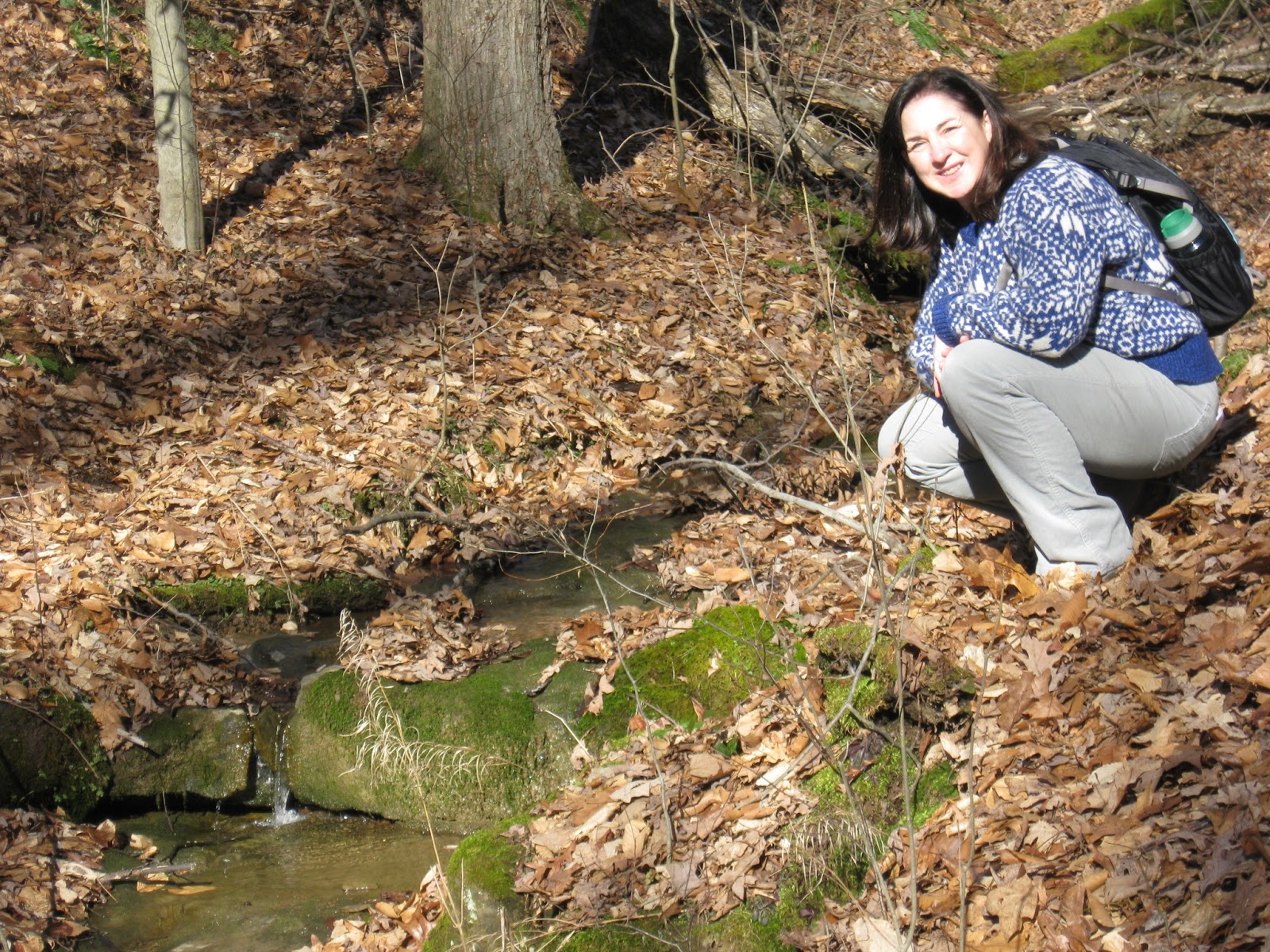
After having our lunch on the rock, we trekked on, almost immediately heading down.  The hike down was easy, not too steep at all.  One interesting part was that when we got to the bottom, our trail took us right up next to a stream, and with the snow melt, often the stream was in the path.  We crossed back and forth over it a few times.  We saw a few small waterfalls tumbling over rocks.  I don't know, but I'm guessing that in drier weather, these little runs are missing.

This was a short hike, on 1.5 miles, but it had everything: climb, view, water interest.

We were the only ones there.  It was so quiet and peaceful.  Definitely going again.


Saturday, January 19, 2013

Lamping Homestead Trail, Wayne National Forest

Saturday, Jan. 19 2013
Temp.: mid to upper 40's

Cool Guy and I hiked the 4 mile Lamping Homestead Trail at Wayne National Forest, Marietta Branch, today.  Looking at the map, I thought this was going to be quick and easy.  As usual, I was wrong.  Although the turnoff for the park was only 35 miles outside Marietta OH, it was 35 miles of winding road, and it took an hour to drive that 35 miles.  One notable thing was that we never met another car on the way there.  We did see two tractors, two hunters in a field, and three covered bridges, but no other cars.

When we arrived at the park, ours was the only car in the lot.  At that point, I thought it might be smart to text Burt and let him know where we were and that I would text him again when we finished.  That would have been a great plan if I had thought to do this before we started, but as it was, there was no internet, so we were alone and on our own.  Note to self: always let someone know where you're going BEFORE you get there.  Luckily, there were no problems and no need for the text, but one never knows.

The day was sunny, windy, and warmish.  I had on my heavy wool sweater, and it was great, except when it was too warm.  But the great thing about this hike was that it changed every 10 minutes or so.  We might be on a sunny stretch one minute, and then in a pine plantation the next.  The sweater was definitely appreciated.

After the first mile, we were given the opportunity to take the short loop and cut the hike to 1.8 miles.  Cool Guy was for that option, but I pointed out to him that the path wasn't muddy, the day was nice, and I would prefer that our hike take longer than our drive to get to it.  So we soldiered on the long loop, and I'm so glad we did.

We walked through one pine plantation during a strong bout of wind, and it was so cool to hear the trees creaking in the wind.  At first, I thought it was a bird shrieking, that is how it sounded.

The trail itself was varied.  We walked through meadows, on pine needles, leaves, jumped streams, crossed creeks, worked our way up slanted ridges, never level, and toward the end, slogged through and dodged around mud and ice.  Never a dull moment.

One moment on a ridge top gave us a nice vista, but for the most part, it was a woods walk.  I would definitely like to do this again in the summer because I think it would be a nice, shady hike.

The trail was well-marked, but even so, we strayed off the trail a time or two.  For me, an ideal trail would have every darn tree with a blaze.  Otherwise, I am going to miss the path somewhere, somehow.  But if we went too long without seeing a blaze, we would backtrack and find our way again.

I am proud of Cool Guy for doing the 4 miles without complaining.  For him, it's all about being done, though he enjoys it, he most likes knowing where the end is.  I'm sure it helped that we were very comfortable throughout, and though the trail was difficult in some places, there wasn't that much up and down.  It was mostly level, though uneven, hiking.

The hike ended with us going around an Indian Burial mound, something that really impressed Cool Guy.

Definitely going again, and next time allowing time to check out the covered bridges.


Saturday, January 5, 2013

McDonough Jan. 3

I never post about McDonough Wildlife Refuge, probably because it is so local and we go so often, that it seems unremarkable.  But if this is to be a true journal of hikes taken, then McDonough deserves its place.

Cool Guy and I went Jan. 3 as soon as school let out.  We had our boots on ready to hike 10 minutes later.  It was in the mid 30's.

We chose the Zig Zag trail this time, beginning with Cool Guy balancing a fallen tree to cross a ditch.  Zig Zag is relatively flat and easy, but this time, the path was icy, and we found ourselves walking on the edges to keep from slipping.  The dips in the trail were mushy and/or muddy.  No one was out but us, and no wildlife seen at all.

We decided to take the Piney Point path at its intersection and cut this hike short, due to the trail conditions. When Piney Point hooked up with Main Loop, it became particularly slick, probably due to heavier traffic on that trail.

Short uneventful hike, but so nice to get outside and in the woods midweek in January.

Lake Shore Trail, Pipestem SP

The second New Year's Day hike was done by Burt and me, leaving the boys in the cabin watching Twilight Zone re-runs.  Hey, they were on vacation, too.  In the afternoon, it remained cold enough that we still needed to bundle up, but soon enough, our jackets were unzipped.

We began on the Den Tree Trail, which was our access trail to Lake Shore.  Den Tree was relatively flat and meandered through woods.  Lake Shore  had a few minor ups and downs, but was a pretty easy trail.  What made this hike difficult was the trail conditions.  It had warmed up just enough o make the trails wet and mushy.

The entire hike was through woods.  Snow was still around, but not on the trail, only mud and slush there.  It was very quiet: no animals, no humans.  We saw precious little of the lake, although the trail took us completely around it.  When we did glimpse the water, it was mirror like in its stillness, with a layer of ice along the shoreline.


Total distance for Lake Shore trail was 2.2 miles.